You can download a GPX file to load onto your GPS of the route we followed by right clicking on this link and selecting save target as...
Any problems downloading, simply email me and I'll send it to you.
A few notes...we missed a turn in Portinscale on the way into Keswick - and missed another one on the way out. We took a slight diversion at the A68 - going left and into Castleside where we were staying overnight, rather than continuing to the end of the Waskerley Way. In the morning we continued on the Consett Road rather than retracing our steps. We also followed what I think was the original route through Sunderland, crossing the River Wear and following a bridle path into Sunderland, which required us to climb up and cross the main bridge over the river. The updated route has you stay on cycle route 7 and not cross the river.
Coast to Coast Route

140 miles of up and down
Sunday, 10 June 2012
Tuesday, 22 May 2012
Whole route profile

A picture from the GPS showing the ups and downs. The highest point, which is also the highest point on the national cycle network is Black Hill at 609 metres. The peak 12 miles earlier is Hartside at 1903 feet.
Day 4 completed
 |
| One of the ridiculously narrow "gates" |
 |
| Camera Boy |
 |
| Dad at the end |
 |
| Panda at the end - lighthouse in the background |
 |
| Information board at the end |
 |
| Alexander "relaxing" in the first class lounge at Newcastle Station |
This was fine, although the morning rush hour traffic was a bit busy and the road was a bit steep in places. We had to regain the height we lost at the end of the day.
The route signposting was a bit more hit and miss from here on.
We stopped at Morrisons to get some sun cream. We didn't bring any because I was convinced it was going to be cloudy. Oops. Alexander got a touch of sunburn on Saturday.
We took a couple of wrong turns in places but we realised pretty quickly each time thanks to the GPS and corrected ourselves before straying too far from the path.
Most of the route was traffic free although there were a few rather busy roads to cross.
A lot of the route was old railway paths. Some of them tarmac and some rather rougher.
Our plan was to get to Beamish and spend a couple of hours looking around. This we duly did, having an early lunch while we were there. Not surprisingly there were a lot of school parties there as well. It was very hot wandering about in the sun.
After leaving Beamish we made good time through Chester Le Street to the edge of Sunderland.
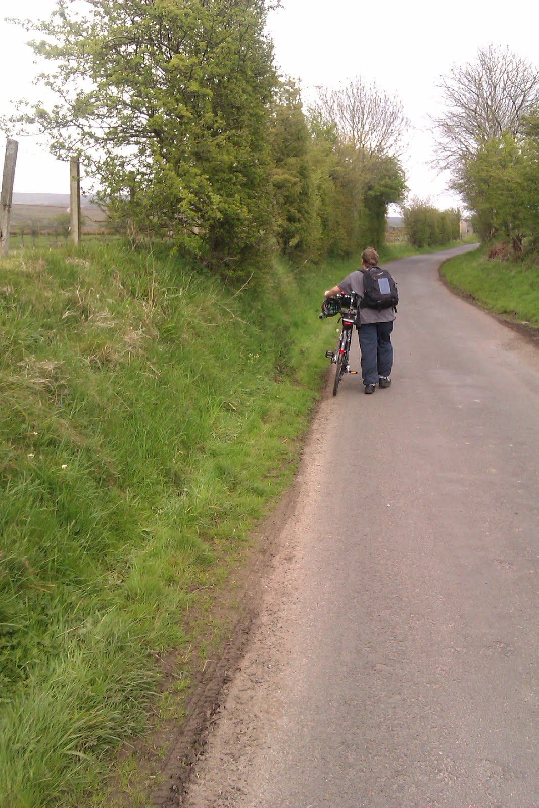
The final few miles were not brilliantly signposted. The GPS programmed route was a little different from the signed one - obviously someone with local knowledge because they cut out a couple of miles by crossing the River Wear earlier and following an excellent bridle path instead - another old railway path.
We got passed by some youths on motorbikes on the path at one point. Completely illegal. We should have them on film! They were revving their engines behind us in a very intimidating manner at a point where it was impossible to let them past.
Our final climb was up to the bridge over the river then down to the waterfront and the final mile and a bit to the end.
We didn't do the dip wheels in the water thing. We took a couple of photos and then headed for the station in time to catch the 3.30 to Newcastle. We are now in the first class East Coast lounge waiting for our train to Edinburgh about 40 minutes from now.
I will add track logs and other information later.


Monday, 21 May 2012
Day 3 completed
Ok, I lied - there were two big hills still to do. If we had taken the offroad route it would have been one. It was a steep climb out of Rookhope but worth it for the superb downhill. Alexander broke his all time bicycle speed record, with 32.2 mph.
That brought us down to Stanhope. The supported group missed out that bit by taking the main road. The climb out of Stanhope was a beast. A 16% hill followed by a long long drag. This was a struggle. On the plus side Alexander collected another donation for the guide dogs taking the total over 310 pounds.
At last we reached the turn off for the Waskerley Way. This is an old railway track. From here it is downhill all the way. The supported group were stopping here for the night at The Parkhead. We took our leave of them and continued on. The surface was good but a little loose such that applying brakes hard at speed would not be a good plan. It was indeed downhill - a gentle gradient all the way. We got to the A68 and turned left to pedal the mile into Castleside to find tonight's b&b. Catherine the owner had phoned us a little while before to find out how we were getting on so she knew our arrival was imminent.
She met us at the door and opened the garage to leave the bikes in.
We learned that the local pub doesn't do food on Mondays, so we took a taxi to the local Whetherspoons pub in Consett.
In chatting with the taxi driver on the way back it turned he did the c2c a couple of years back. He donated the fare to the Guide dogs as well, which was really good of him.
That brought us down to Stanhope. The supported group missed out that bit by taking the main road. The climb out of Stanhope was a beast. A 16% hill followed by a long long drag. This was a struggle. On the plus side Alexander collected another donation for the guide dogs taking the total over 310 pounds.
 |
| Into Pink Panther Land |
She met us at the door and opened the garage to leave the bikes in.
We learned that the local pub doesn't do food on Mondays, so we took a taxi to the local Whetherspoons pub in Consett.
In chatting with the taxi driver on the way back it turned he did the c2c a couple of years back. He donated the fare to the Guide dogs as well, which was really good of him.
Day 3 lunch - Rookhope
No phone coverage again.
A beautiful sunny morning despite the forecast saying it would be cloudy.
The climb out of Alston was hard work and slow. It took us quite a while to reach Nenthead a mere 4 miles away.
After that Alexander found some energy from somewhere and we made good progress up to the top of Black Hill, the highest point on the national cycle network at 609m.
The supported group caught us up a little after Nenthead. One of the ladies is 74 and is doing it on a Brompton folding bike. We chatted to them for a while at the top of Black Hill.
Alexander's camera continues to cause interest. A couple of the group donated to the Blind Dogs. Their ride leader, Peter, used to do tandem rides for the partially sighted.
A good descent then another steepish up, then a long down into Allenheads where we had hoped to get an early lunch, but the cafe was closed and no signs as to when it would be open, so we abandoned and walked/cycled up the hill out of Allenheads and then coasted about 5 miles down to Rookhope where we are having lunch in the pub. One more big, steep hill to go.

Highest point

This is Alexander on the top of Black Hill - the highest point at 609m.

Sunday, 20 May 2012

Day 2 part 2
 |
| Walking up Hartside |
 |
| Pedalling up Hartside |
 |
| Still walking up Hartside |
 |
| Cafe at the top of Hartside |
 |
| At the top and about to go down the other side to Alston |
A mile or two later we got to the foot of the hill and started up it. It was a long climb. We could see vehicles going up the main road a long way up ahead. We passed the point where the offroad path crossed the road which completely justified our earlier route selection. Steep and very rough. After a combination of pedalling and walking we joined up with the main road. We were heading for the cafe at the top, but first had to endure large numbers of motorcyclists racing up and down the hill. This was a far from pleasant experience. We got off the road as soon as we could and walked up the offroad path for the last few hundred yards. It was certainly steep. There was a speed camera sign at the top along with a big blue sign saying 20 serious casualties in the last 3 years. No wonder! Sustrans should lobby the law enforcement authorities to install permanent speed cameras on the sections that carry the c2c route.
Anyway, we got to the top just as the cafe proper was closing, but there was a takeaway window still serving. There were about 30 motorcyclists hanging about and a few cyclists including the supported group that we encountered a number of times. We stopped to enjoy a drink and had our photo taken next to the sign at the top, 1903 feet.
After that 5.5 miles of downhill - 1000 feet - down to Alston. No speed records - care was required due to the amount of traffic overtaking us at speed - but it was a fantastic descent on smooth tarmac.
We arrived at the Cumberland Inn without incident - much nicer place than last night. Showers, food and liquid refreshment.
Tomorrow will be the hardest day, so a good night's rest is called for.
Day 2 part 1
 |
| Just about ready to go in the morning |
 |
| The Mill Inn, Mungrisdale |
 |
| The C2C cafe in Greystoke |
 |
| Lunch Break in Penrith |
 |
| Snack break in Langwathby |
After a while we set off for Penrith. We arrived without incident and found a Greggs and bought a sandwich each.
We set off again, the helmet camera and solar cell charging bag raising comment from passers by.
There was a fair bit of climbing before a superb downhill shortly before Langwathby 30 mph was achieved. A short section on the rather busy A66 led us across the river and into the village. We paused for a snack and saw one of the supported groups being fed their lunch.
20 mile snack break
 |
| Snack in Langwathby before tackling Hartside |
Lunch in Penrith
 |
| Lunchtime - very sunny |
Day 1 completed
 |
| Walking up a steep hill a little before Whinlatter |
 |
| An interesting sign next to Loweswater |
 |
| At the start of the climb up Whinlatter |
 |
| Whinlatter Forest |
 |
| Lunchtime Chocolate Slice |
We left the Chase Hotel a bit after 9 this morning. The other c2c group were having a right faff sorting out their bill. The only thing wrong with the place was the temperature in the room - the radiator wasn't working and it was Baltic.
Fuelled up with our full English we headed for the harbour and took photos of us at the start. A few other groups turned up. We seem to be the only ones doing it unsupported this weekend.
The weather was cool but dry and sunny. The wind was easterly and chilly but not too strong. It got warmer as the day went on.
We set off and trogged along without incident at a steady if not spectacular pace. The route is for the most part excellent. Mostly traffic free and very well signposted.
We were passed by a few others - some of whom we passed later in the day.
We stopped at around 10 miles for choccy bars and biscuits. Shortly after that the hills started.
At around 20 miles the one serious hill of the day up to Whinlatter pass. We walked the first section. It was steep enough to be a real leg buster.
Most of the people we saw missed out the first forest section and took the road to the visitor centre. We did the extra uphill and steep downhill section.
We stopped for a late and expensive lunch at the cafe.
There then followed an exciting steep descent down forest tracks.
We managed to miss a turning on the way into Keswick and another on the way out. Fortunately the GPS got us back on track without problems.
It took us a while to do the last 8 miles. Tired legs didn't want to go up hills or go fast.
We arrived at the Mill Inn a bit after 7. A room just about big enough for 2 beds, a tv with too weak a signal to be able to watch most channels - although the chelsea v bayern match was watchable - which Chelsea have just won!
The bikes got padlocked to a picnic bench and batteries and gadgets put onto charge.
We showered and went down for food. We couldn't phone home, so ordered fish and chips and waited...and waited...and waited some more. Eventually it turned up - passable - just - given we were hungry enough to eat a horse each.
Panda has fallen asleep. I think he is tired but the boy done well.

Saturday, 19 May 2012
The adventure begins
 |
| Alexander next to the start point sculpture |
 |
| Alexander and Dad at the start point |


Friday, 18 May 2012
Whitehaven
Arrived in Whitehaven without incident. We were struck by the number of wind turbines spread along the coast - all facing the wrong way.
A short ride to the Chase Hotel - scampi and chips in the bar where it was prize giving night for the local fantasy football league club!
A big bunch of c2cers turned up about 9pm with trailer and support crew.
A short ride to the Chase Hotel - scampi and chips in the bar where it was prize giving night for the local fantasy football league club!
A big bunch of c2cers turned up about 9pm with trailer and support crew.

Waiting for a train at Carlisle.
 |
| Waiting for a train in the rain |

Packed and just about ready to go
The paniers are full.
Our planned stopping points are
Day 0 - Whitehaven - 0 miles
Day 1 - Mungrisdale - 40 miles
Day 2 - Alston - 75 miles
Day 3 - Castleview - 110 miles
Day 4 - Sunderland - 140 miles
Our planned stopping points are
Day 0 - Whitehaven - 0 miles
Day 1 - Mungrisdale - 40 miles
Day 2 - Alston - 75 miles
Day 3 - Castleview - 110 miles
Day 4 - Sunderland - 140 miles
Thursday, 17 May 2012
Weather forecast not looking promising
The weather forecast isn't looking too great. The wind is forecast from the East at up to 17 mph - that will be hard work - but it looks like it may be dry, if overcast.


Sunday, 13 May 2012
Just a few days to go...
Less than a week to go.
Alexander has decided to try and raise money for Guide Dogs for the Blind, with a particular emphasis on guide dogs for young people.
If you would care to contribute you can click on the widget on the sidebar of this blog which will take you to his Justgiving webpage at www.justgiving.com/pandac2c - or if you would like to contribute a pound using your mobile phone, simply text PCTC66 to 70070
Wednesday, 25 April 2012
Preparing to do the Coast to Coast
Panda is planning on tackling the coast to coast cycle ride over the Victoria weekend (19th to 22nd May 2012.) He and his dad are training hard - well, if you count playing computer games as training. He has even persuaded his dad to carry all the gear.
The route is 140 miles and we plan on doing it over 4 days, starting at Whitehaven and finishing at Sunderland.
We've got bicycles and have booked train tickets and b&b's, so it's all systems go.
Panda has a Go Pro Hero 2 camera and plans to make a photo/video record of the trip, assuming the batteries and memory cards all hold up.
Subscribe to:
Posts (Atom)